بریجتون (میزوری)
Bridgeton, Missouri | |
|---|---|
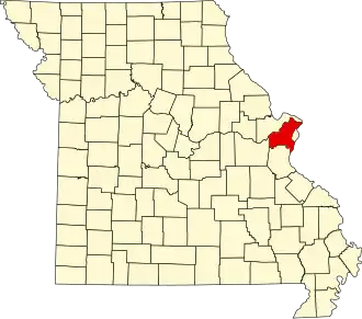
 Location of Bridgeton, Missouri | |
| مختصات: ۳۸°۴۵′۲۶″ شمالی ۹۰°۲۵′۴″ غربی / ۳۸٫۷۵۷۲۲°شمالی ۹۰٫۴۱۷۷۸°غربی | |
| کشور | |
| ایالت | |
| شهرستان | سنت لوئیس |
| حکومت | |
| • شهردار | Conrad Bowers |
| مساحت | |
| • کل | ۱۵٫۲۴ مایل مربع (۳۹٫۴۷ کیلومتر مربع) |
| • خشکی | ۱۴٫۶۰ مایل مربع (۳۷٫۸۱ کیلومتر مربع) |
| • آب | ۰٫۶۴ مایل مربع (۱٫۶۶ کیلومتر مربع) |
| ارتفاع | ۵۸۴ فوت (۱۷۸ متر) |
| جمعیت | |
| • کل | ۱۱۵۵۰ |
| • برآورد (۲۰۱۲[۳]) | ۱۱۶۳۰ |
| • تراکم | ۷۹۱٫۱/مایل مربع (۳۰۵٫۴/کیلومتر مربع) |
| منطقهٔ زمانی | یوتیسی -۶ (CST) |
| • تابستانی (DST) | یوتیسی -۵ (CDT) |
| FIPS code | ۲۹-۰۸۳۹۸[۴] |
| GNIS feature ID | ۰۷۵۵۸۱۶[۵] |
| وبگاه | www.bridgetonmo.com |
بریجتون (به انگلیسی: Bridgeton) شهری در شهرستان سنت لوئیس ایالت میزوری است که جمعیت آن در سرشماری سال ۲۰۱۰ میلادی ۱۱٫۵۵ نفر بوده است.[۶]
جستارهای وابسته
منابع
- ↑ "US Gazetteer files 2010". United States Census Bureau. Archived from the original on 14 July 2012. Retrieved 2012-07-08.
- ↑ "American FactFinder". United States Census Bureau. Retrieved 2012-07-08.
- ↑ "Population Estimates". United States Census Bureau. Archived from the original on 17 June 2013. Retrieved 2013-05-30.
- ↑ "American FactFinder". United States Census Bureau. Retrieved 2008-01-31.
- ↑ "Bridgeton". سامانه اطلاعات نامهای جغرافیایی، سازمان زمینشناسی آمریکا.
- ↑ "Missouri: largest cities and towns and statistics of their population" (به انگلیسی). World Gazetteer. Archived from the original on 5 December 2012. Retrieved 12 July 2012.
- Official Manual State of Missouri 2005-2006. Issued by the Secretary of State. Jefferson City, Missouri.